
Our Vision
The path to a national wildlife refuge designation
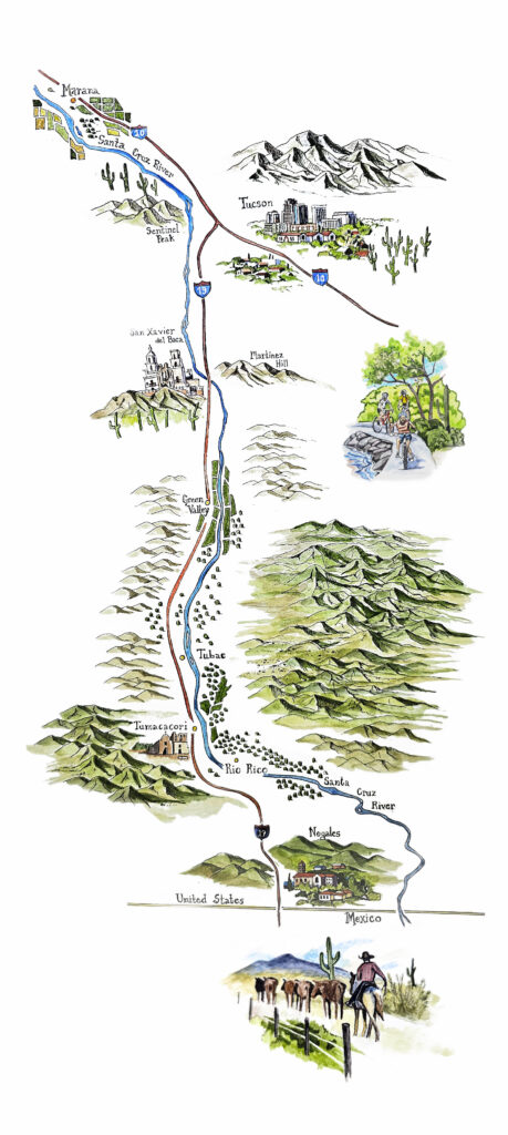
We envision a protected corridor of open space along the Santa Cruz River that will honor the region’s Native heritage—past, present and future—provide outdoor access and shade equity, and protect biodiversity and wildlife corridors. These protected islands of land will be connected as the Santa Cruz River National Wildlife Refuge, which will run from Mexico to Marana.
The U.S. Fish and Wildlife Service (USFWS), within the Department of the Interior, has the authority to designate national wildlife refuges. We’re working with local partners to identify important specific areas for conservation, highlight the multiple values of the river corridor, ensure public involvement, and present a comprehensive plan to USFWS for consideration. Such a designation would not only enrich communities and sustain wildlife, but—through the promise of increased tourism and recreation—would also boost Arizona’s economy and local businesses.
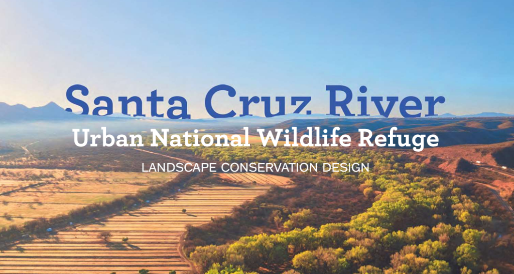
The 2024 Landscape Conservation Design (LCD) report is a crowd-sourced document built by the Santa Cruz River Refuge Coalition. It draws on key reports, essays, photos, poems, research and more to sketch a bi-county vision for this refuge. The vision and research presented in this report are the result of decades of work. In the last two years alone, the refuge coalition has formed through dozens of one-on-one interviews, in-person workshops, visioning sessions, surveys, petitions, newsletters and more.
The proposed Santa Cruz River Land Protection Strategy (LPS) is an assessment of the opportunity for a potential national wildlife refuge in southern Arizona along the Santa Cruz River, spanning both Pima and Santa Cruz counties. The strategy outlines a collection of priority protection areas on which the U.S. Fish & Wildlife Service (USFWS) may use multiple conservation tools to accomplish desired conservation outcomes. Should a new national wildlife refuge be created, it would allow the USFWS to partner with local entities and to build on its conservation mission by protecting lands located in the heart of the Sky Islands of southern Arizona, one of the most biologically diverse—and imperiled—regions in North America.
Benefits of a national wildlife refuge
A national wildlife refuge designation will protect crucial green space, improve and maintain wildlife habitat connectivity, ensure equitable access to the river and surrounding landscape for local communities, and honor the rich cultural and historical connections to the river. By acquiring land from willing sellers, a wildlife refuge can protect threatened open space in perpetuity.
Refuges also support community health and well-being and foster land stewardship through restoration, recreation, and education.
A revitalized Santa Cruz River
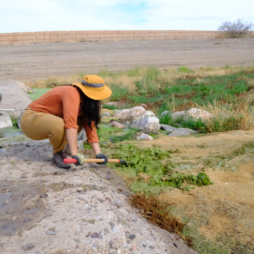
In 2012, Pima County approved a tax allocation to build one and upgrade another wastewater treatment plant in Tucson and Pima County. These upgrades included technologies to remove nitrogen compounds that had been shown to be detrimental to the fish and wildlife along the Santa Cruz River.
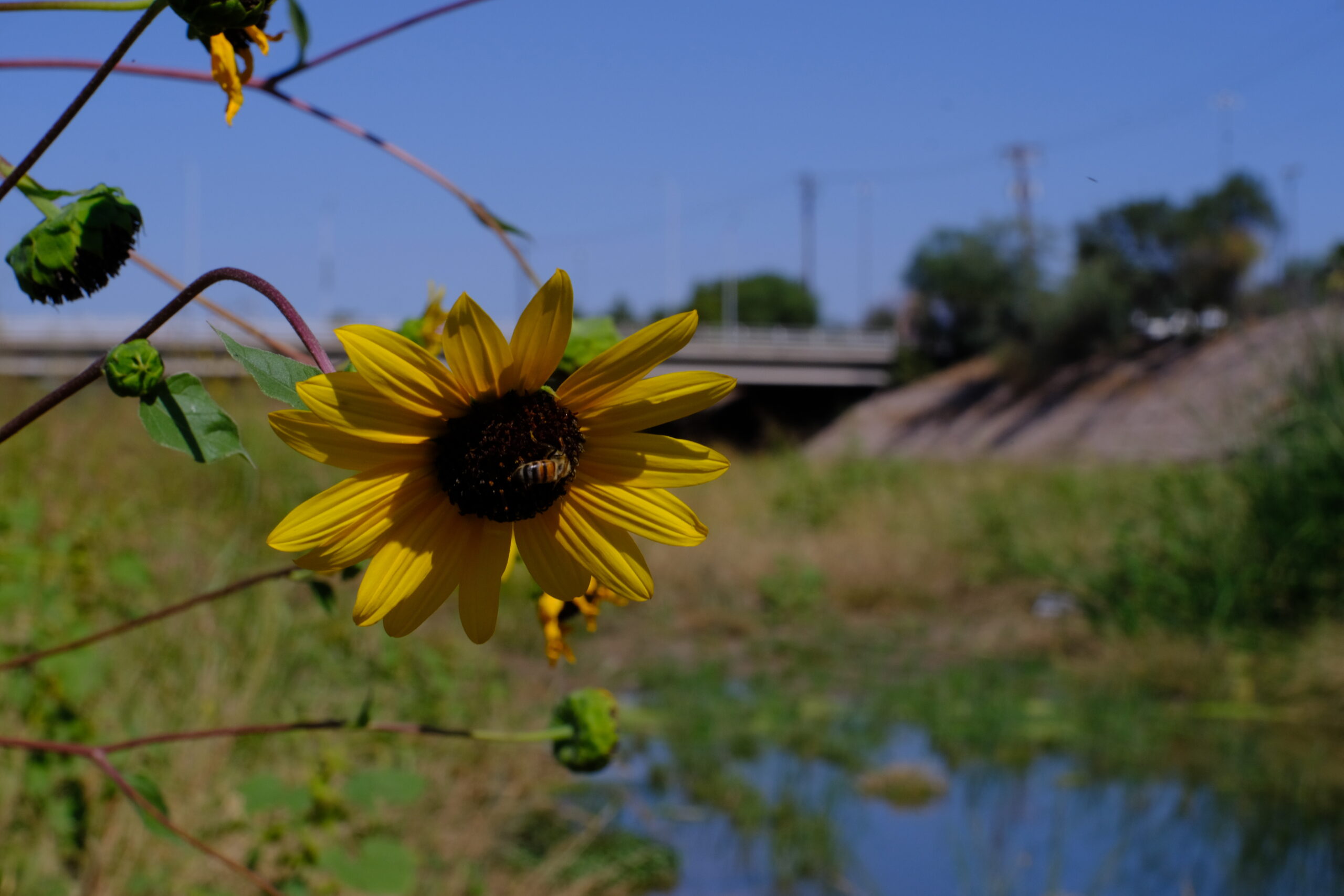
Today, the improved plants release highly treated wastewater into the Santa Cruz, creating over 25 miles of vibrant habitat that has been foundational to the recovery of vegetation, wildlife, insects, and migratory bird species. The riparian corridor, located within walking distance of several communities, serves as essential outdoor access for tens of thousands of residents.
A sustainable future for people, wildlife, and water, informed by community
The ecologically and culturally vibrant Santa Cruz River flows through the heart of Southern Arizona. The proposed refuge boundary would run through both Santa Cruz and Pima counties. It would include multiple non-contiguous properties to maximize outdoor access and enable holistic habitat protection. The refuge would include several access points along the river:
- The beloved 137-mile Chuck Huckelberry Loop, a popular paved recreation trail that runs alongside the Santa Cruz River and its major tributaries, would be a centerpiece of the new refuge.
- The primary gateway to the river corridor in Green Valley, the Pima County Abrego Trailhead offers several amenities to walkers, cyclists, equestrians, and dog owners.
- The Adamson-Catino Trail is Green Valley’s signature trail and a community achievement. The Adamson-Catino Trail connects the Abrego Trail, the Juan Bautista de Anza National Historic Trail and Canoa Preserve Park.
- The Canoa Preserve is protected open space along the river that provides public access to Green Valley’s beautiful natural scenery.
- At Sweetwater Wetlands, near the northern boundary of the proposal, birders have observed over 300 species, making the zone a regional birding hotspot.
The proposed refuge corridor offers rich opportunities for birdwatching, cycling, walking and more.
In addition, the refuge would protect a vital migration corridor and north–south flyway for hundreds of species of birds and other wildlife. With the San Pedro River, it is one of only two such migration corridors in southern Arizona.